by Steve Gifford | Sep 11, 2024 | MapLibre
While we’re primarily a weather company, our involvement in MapLibre development has become a significant part of our work. Why? It’s complicated, but an old blog post explains it. Short version: The money is good. For those unfamiliar, MapLibre is an...
by Steve Gifford | Jun 12, 2024 | MapLibre, Terrier
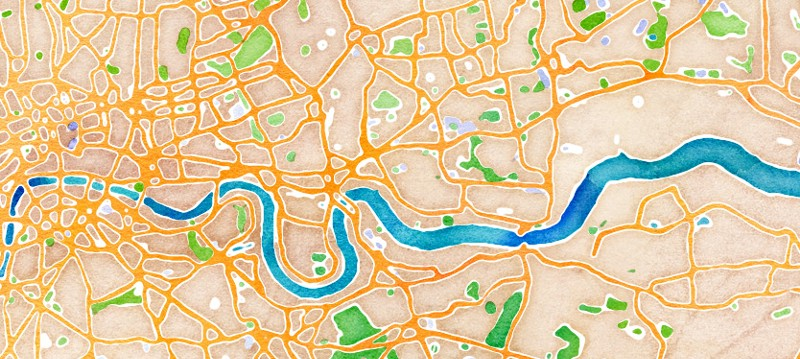
I was recently asked how to do Stamen Watercolor in MapLibre at the State of the Map in Salt Lake City after a talk about Stadia & Stamen’s recent revival of the old Stamen styles. Except Watercolor. There are ways you could hack it at the app level, but a...

by Steve Gifford | May 8, 2024 | Data, MapLibre, Terrier
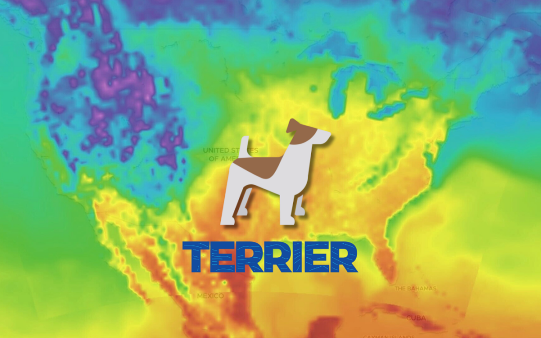
We do some pretty advanced data visualization for weather data. Our Terrier is interactive, low latency, and very pretty. There are many moving parts to that, but we’ll let you in on one of our secrets: Our map toolkit integrations use other peoples’ map...
by Steve Gifford | Mar 26, 2024 | Data, MapLibre, Terrier
Terrier’s web version, our front-end display toolkit, has a lot going on—data transfer, reprojection, resampling, and WebGL data shaders, to name some—but using it is pretty straightforward. Getting Started with Terrier: Weather Mapping Basics Here’s how...
by Steve Gifford | Jan 19, 2024 | MapLibre
Late in 2022, we got involved in bringing MapLibre, a popular open-source map toolkit, up to date on Apple products. It’s been a fascinating journey that looks to continue this year. A significant chunk of our little company is focused on it, and it’s been a boon to...
by Steve Gifford | Oct 27, 2023 | MapLibre
We’re a weather product company with a sideline in geospatial consulting. This post lands firmly in the latter category. It’s about the MapLibre project. We’re successfully winding up our work upgrading MapLibre Native to Metal and looking for the next thing. There’s...