by Steve Gifford | Nov 6, 2025 | Data, GeoService, Web Coverage Service
We’re excited to announce that RAP Smoke model data from NOAA is now part of the products we ingest and deliver to our customers. This addition gives developers and analysts a new way to visualize smoke movement and density across North America. It is especially...

by Steve Gifford | Oct 16, 2025 | GeoService, Web Coverage Service
I work a lot with open standards and on AWS. I’ve been thinking about how some of the standards we depend on result in open-ended queries, and how I wish they were more like some of the AWS services we use to build those services. That’s especially true...
by Steve Gifford | May 15, 2024 | Boxer, GeoService, Terrier
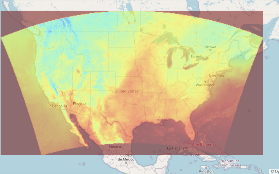
At Wet Dog Weather, our main task is weather data visualization. Our weather map tiles are fast! The whole process is easy, and it looks amazing. We combine a ton of data on the fly in our Terrier for Web SDK. That’s the best way to get the most out of Boxer and...
by Steve Gifford | Sep 28, 2023 | GeoService
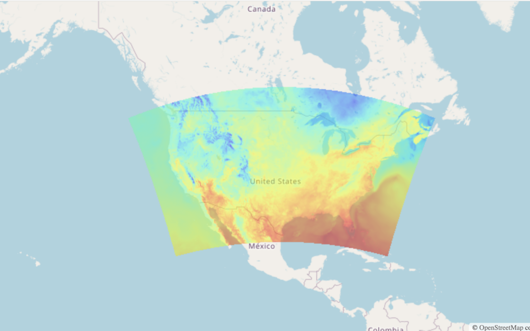
At Wet Dog Weather, we’re all about dynamic data display. We like slinging data tiles around and doing complex things in your web browser. But sometimes, you need some map tiles for visualization. We can do that with our new Static Tile Service. HRRR temperature data...