At Wet Dog Weather, we’re all about dynamic data display. We like slinging data tiles around and doing complex things in your web browser. But sometimes, you need some map tiles for visualization. We can do that with our new Static Tile Service.
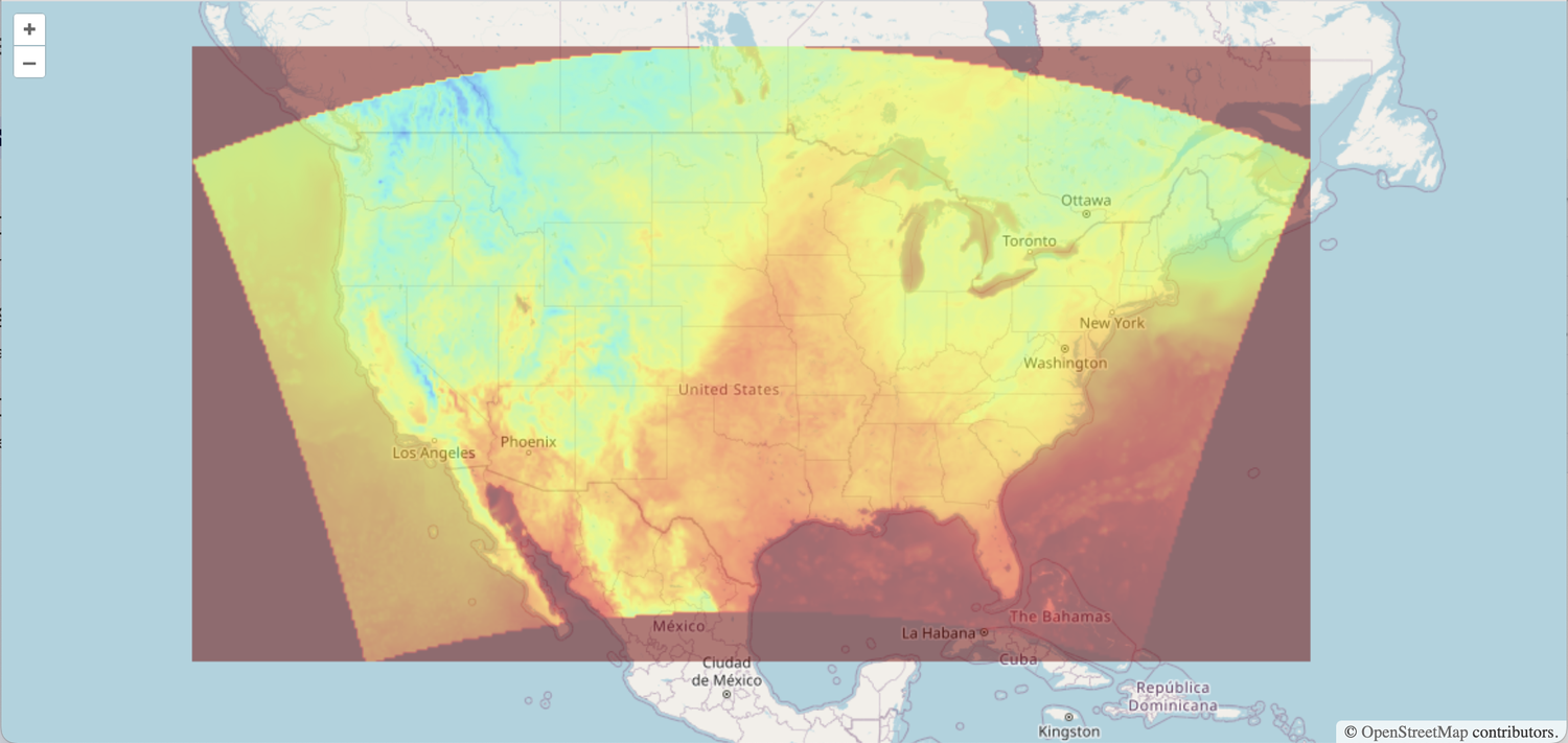
HRRR temperature data with nulls mapped to color to see the extent. Usually, you’d let those values be transparent.
WMS and WMTS
We’re supporting the OGC Standards for a Web Map Service and a Web Map Tile Service. You can access all of your data through the standard calls. This includes a Capabilities return in XML with information about all your layers organized by time and style.
Styles are just mappings between data value and color, but they include a Legend you can ask our service to render. You pass the style into the request for the tile. It’s all in the Capabilities.
The OGC standards do not explicitly support time, but we’ve tried to keep it simple. You’ll see a <forecast base>/<forecast offset> in the reference URLs that you can decode if you like.
Mapping Performance
WMTS is preferred since it comprises individual map tiles and can be effectively cached at our CDN layer. Thus the performance is great!
WMS scales notoriously poorly because each GetMap request may have unique extents. But we support it now and can set it up for your stack.

