by Steve Gifford | Mar 26, 2026 | Terrier
Last week, we introduced Future Radar, our take on advected radar for MRMS. Now that it’s live, we’re going to show you how to actually use it across our products. We’ll start with Future Radar in Terrier. If you’re already displaying radar in...
by Steve Gifford | Mar 19, 2026 | Data
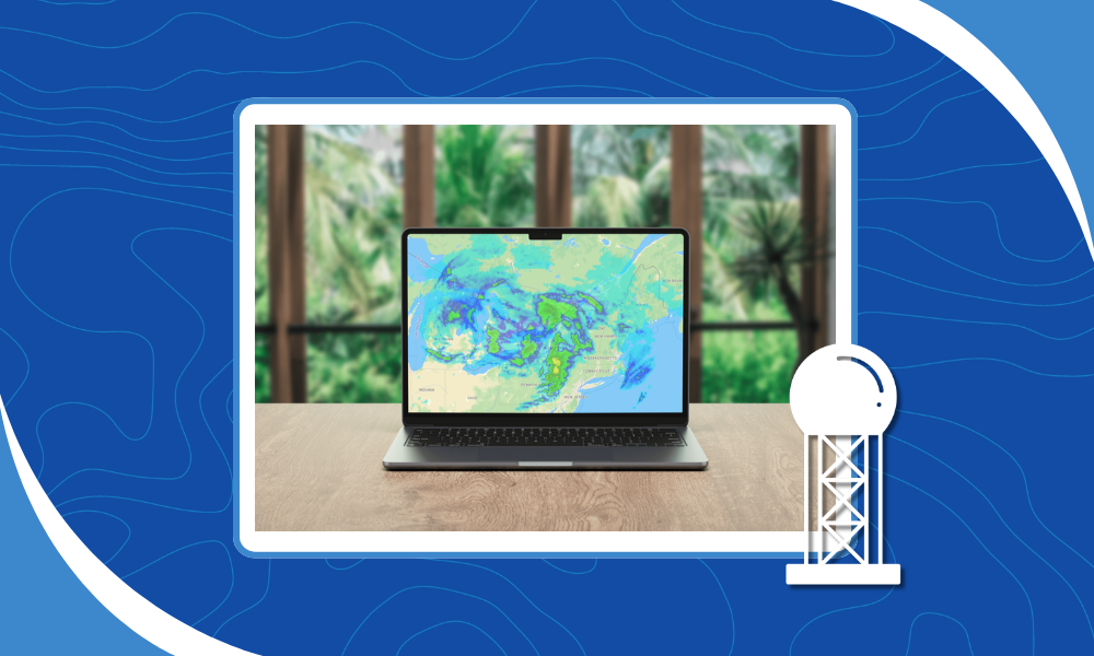
We’re excited to announce a new product: Future Radar. It’s our take on future radar data, showing where precipitation is headed, not just where it’s been. The proper name for this is advected radar. The meteorological definition of advection is...
by Steve Gifford | Feb 19, 2026 | Terrier
With technology, I’ve learned to just see what happens. There are several dumb ideas, like NodeJS, Python, and the iPad, that I was just completely wrong about. So when I started watching AI code in open-source projects, I hoped for the best. After all, I grew...
by Steve Gifford | Feb 12, 2026 | Web Coverage Service
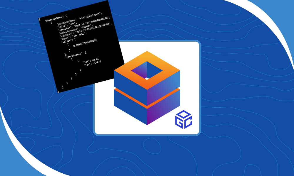
We’ve been working on this one for a while, but now it’s ready for prime time. The Web Coverage Service (WCS) is one way to access data directly from our weather data platform and functions as a real-time weather data API for teams that need fast,...
by Steve Gifford | Feb 6, 2026 | Terrier
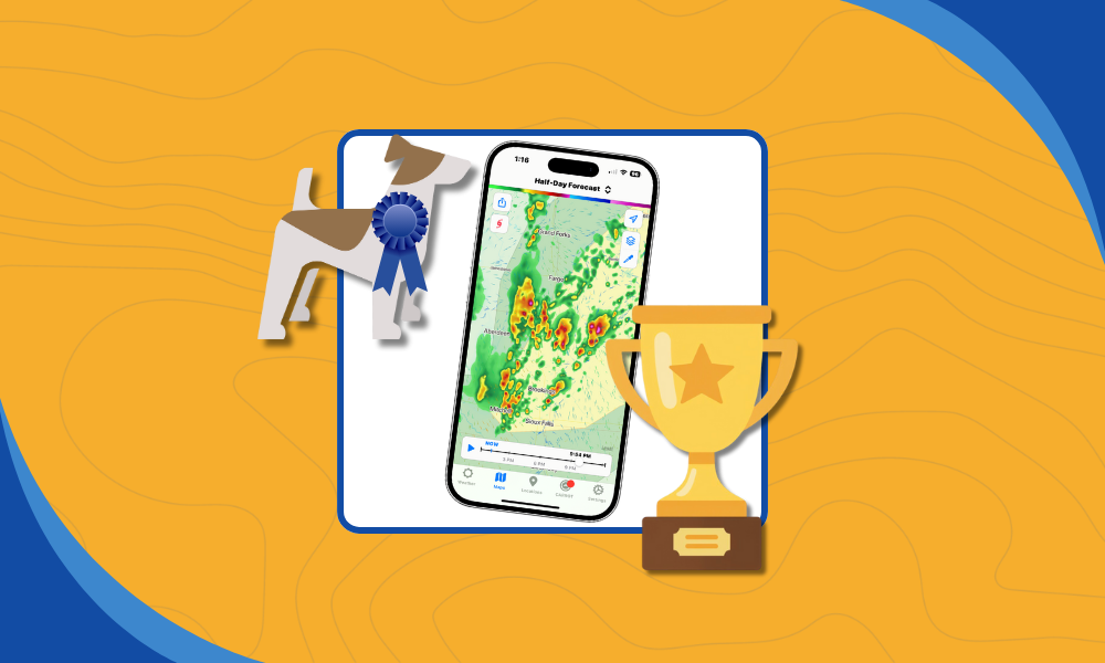
Terrier is our display toolkit for animated weather data. It’s a real-time WebGL JavaScript toolkit that our users can integrate into their MapLibre/Mapbox, OpenLayers, ESRI Map SDK, or Leaflet maps. We went to a lot of trouble to build it, and it’s worth...