
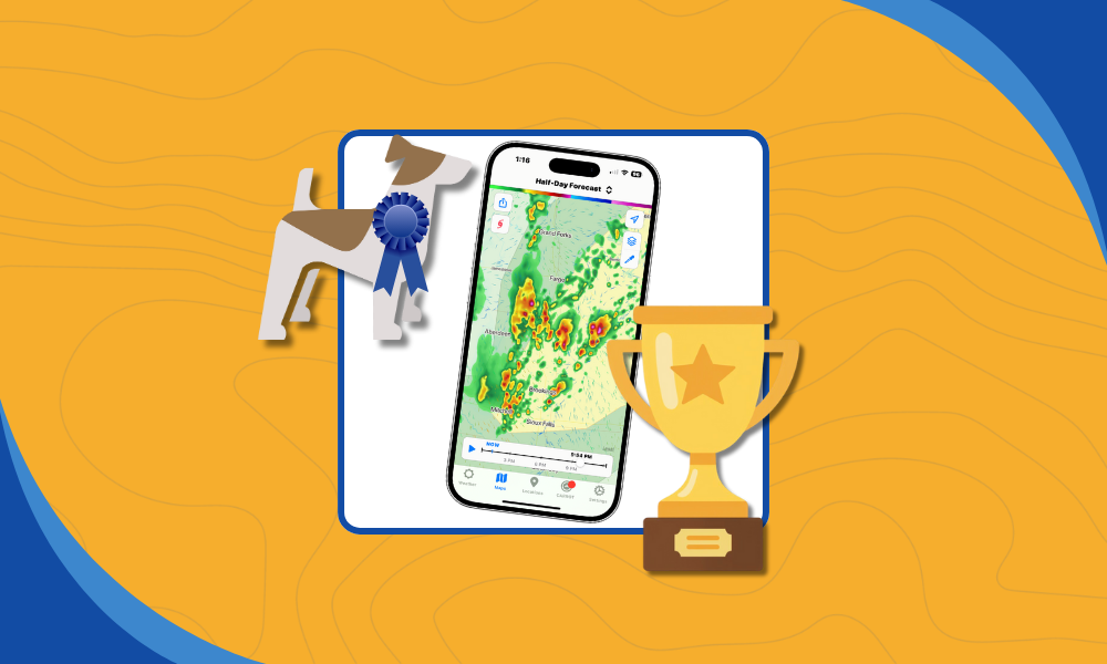
by Steve Gifford | Feb 19, 2026 | Terrier
With technology, I’ve learned to just see what happens. There are several dumb ideas, like NodeJS, Python, and the iPad, that I was just completely wrong about. So when I started watching AI code in open-source projects, I hoped for the best. After all, I grew...
by Steve Gifford | Feb 6, 2026 | Terrier
Terrier is our display toolkit for animated weather data. It’s a real-time WebGL JavaScript toolkit that our users can integrate into their MapLibre/Mapbox, OpenLayers, ESRI Map SDK, or Leaflet maps. We went to a lot of trouble to build it, and it’s worth...
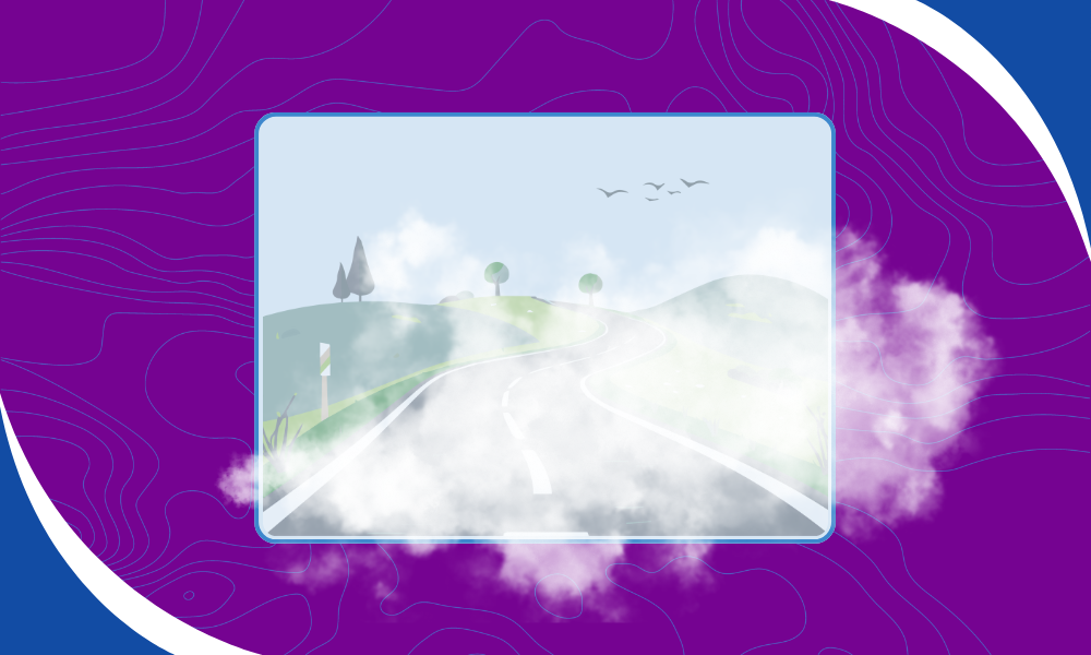
by David Crowe | Jan 15, 2026 | Terrier
Fog is one of the most common and underestimated weather hazards. It forms quietly, spreads quickly, and can dramatically reduce visibility with little warning. Effective fog visualization helps bridge that gap by showing where low-level clouds are forming, how...
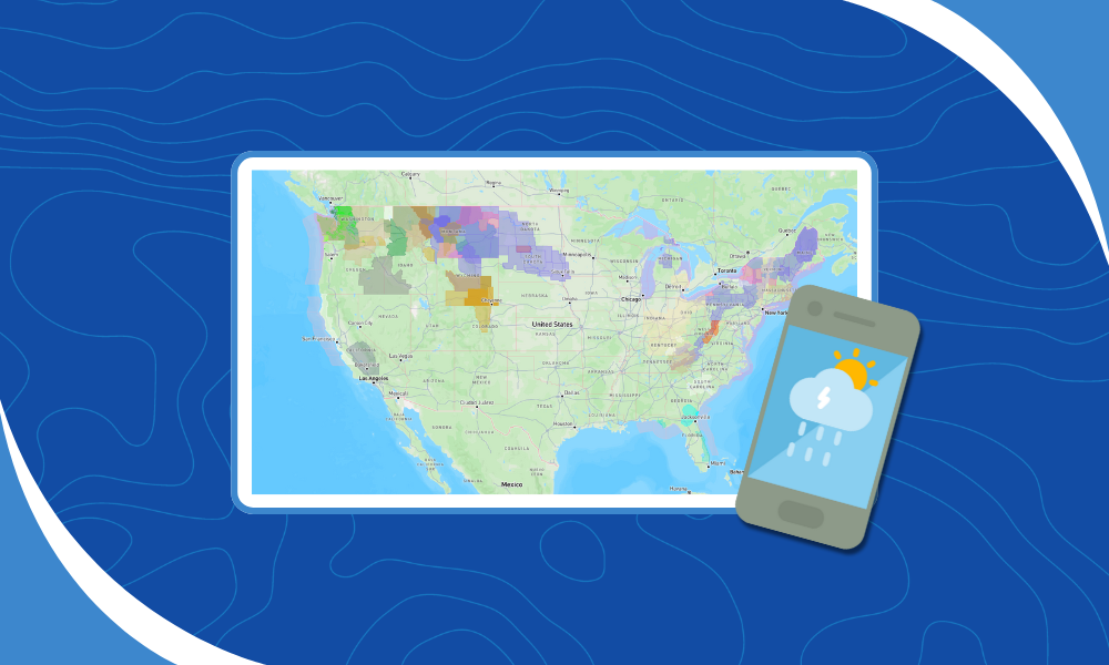
by Steve Gifford | Dec 11, 2025 | Boxer, Labrador, Terrier
We are delighted to announce we’ve added National Weather Service Warnings, Watches, and Alerts to our products, and this update introduces our new focus on WWA weather data. The initial integration is with Terrier for Mobile, and the screenshot above is from an...
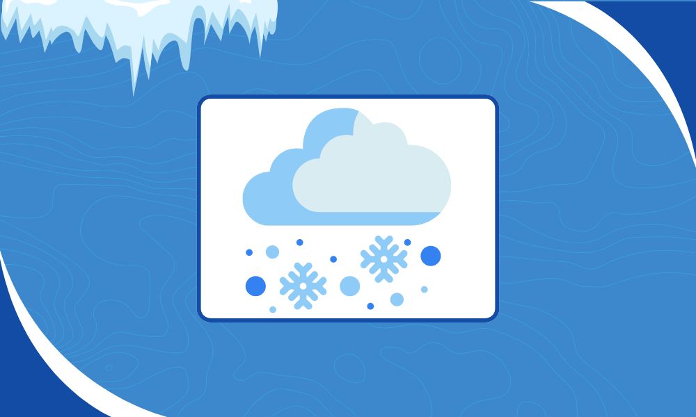
by Daphne Thompson | Nov 20, 2025 | Terrier
Winter weather always finds a way to surprise people, which is precisely why winter weather data matters so much this time of year. Operations teams say the same thing every winter. The models look solid, the setup seems clear, then the real world shifts. A degree or...

by David Crowe | Nov 13, 2025 | Terrier
Some of the most extreme conditions on Earth are experienced within mountains. Mt. Washington, NH, for example, experiences some of the harshest weather on the continent. It has an annual average wind speed of 35 mph and holds the record for the second-highest wind...