Web Coverage Service
Web Coverage Service: Access Gridded Data From Our Weather Data Platform
- OGC standard for querying and delivering gridded weather datasets
- Discover models and coverages with GetCapabilities
- Inspect dimensions and time ranges with DescribeCoverage
- Retrieve data for processing and integration with GetCoverage
- Pull just the latest values with the ‘latest’ keyword

Web Coverage Service (WCS) is part of the Wet Dog Weather weather data platform, designed to provide direct access to gridded weather data for analysis and processing. It supports standard WCS operations, including discovering available models, inspecting coverage dimensions, and retrieving raw data values. This service is ideal for teams that need structured access to weather data for downstream workflows rather than front-end display.
White Papers
Web Coverage Service Posts
Web Coverage Service: A Real-Time Weather Data API
Web Coverage Service delivers fast, standards-based access to forecast data, functioning as a real-time weather data API.
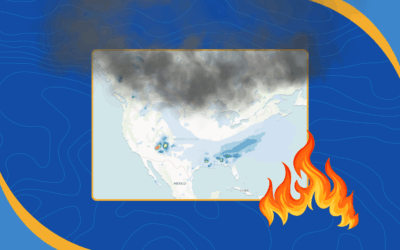
New RAP Smoke Model Data from NOAA Now in Our Stack
Wet Dog Weather is now ingesting RAP Smoke model data from NOAA. This addition helps developers, analysts, and app builders visualize smoke movement and improve air quality insights in their applications.
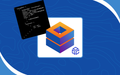
Smarter Query Design with OGC Services and AWS
If you’ve ever pulled data from OGC services, you know how easily one request can snowball into a flood of XML. In this post, we examine why open-ended queries persist, how AWS handles large results differently, and what the geospatial community could learn from that approach.
A Practical Guide to Web Coverage Service for Weather Data
The Web Coverage Service (WCS) can be intimidating at first — it involves massive XML, endless metadata, and OGC quirks. But the Web Coverage Service for weather data is surprisingly powerful once you know where to look. We’ll walk through metadata, DescribeCoverage, and GetCoverage to show how WCS makes model queries flexible, fast, and actually enjoyable.

Cloud-Based WCS: A Modern Approach to Geospatial Services
Discover our cloud-based WCS implementation that combines modern infrastructure with OGC standards for scalable, efficient geospatial services.
Industries
Automotive
Aviation
Consumer
Utilities
Have a project in mind?
Our weather data platform handles everything from standard datasets to custom data, whether purchased or generated in-house. Customers can have their own Boxer stack with access to Terrier front-end tools, and we provide full support for processing, transforming, and delivering weather information efficiently. Customization is where our expertise shines, helping you get exactly the weather insights you need. Let’s work together to bring your next weather data project to life!