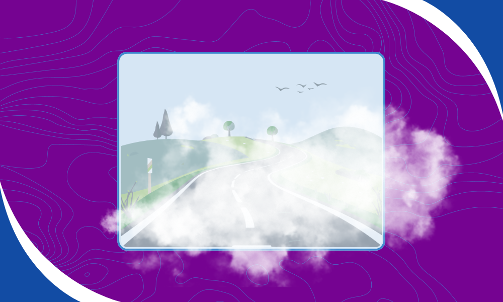
Fog is one of the most common and underestimated weather hazards. It forms quietly, spreads quickly, and can dramatically reduce visibility with little warning. Effective fog visualization helps bridge that gap by showing where low-level clouds are forming, how extensive they are, and when they begin to dissipate.
At Wet Dog Weather, we specialize in turning fast-updating model data into clear, actionable visuals. By ingesting data from the High-Resolution Rapid Refresh (HRRR) model and displaying it in Terrier, we provide 3 km-resolution low-cloud cover to support real-time awareness of fog conditions.
What Fog Really Is
Fog is a cloud that forms at Earth’s surface. While it lacks the vertical development of higher-altitude clouds, it obeys the same physical principles. Fog forms when air temperature cools to its dewpoint, forcing water vapor to condense onto microscopic cloud condensation nuclei suspended in the air.
These droplets are tiny, roughly 100 times smaller than a typical raindrop, which allows them to remain suspended and move with the wind. From a forecasting and operations standpoint, understanding this process is essential for accurate fog visualization, especially in complex terrain or rapidly changing conditions.
Common Types of Fog
Not all fog forms the same way. Terrain, temperature, and moisture determine how fog develops and how long it persists.
Radiation Fog
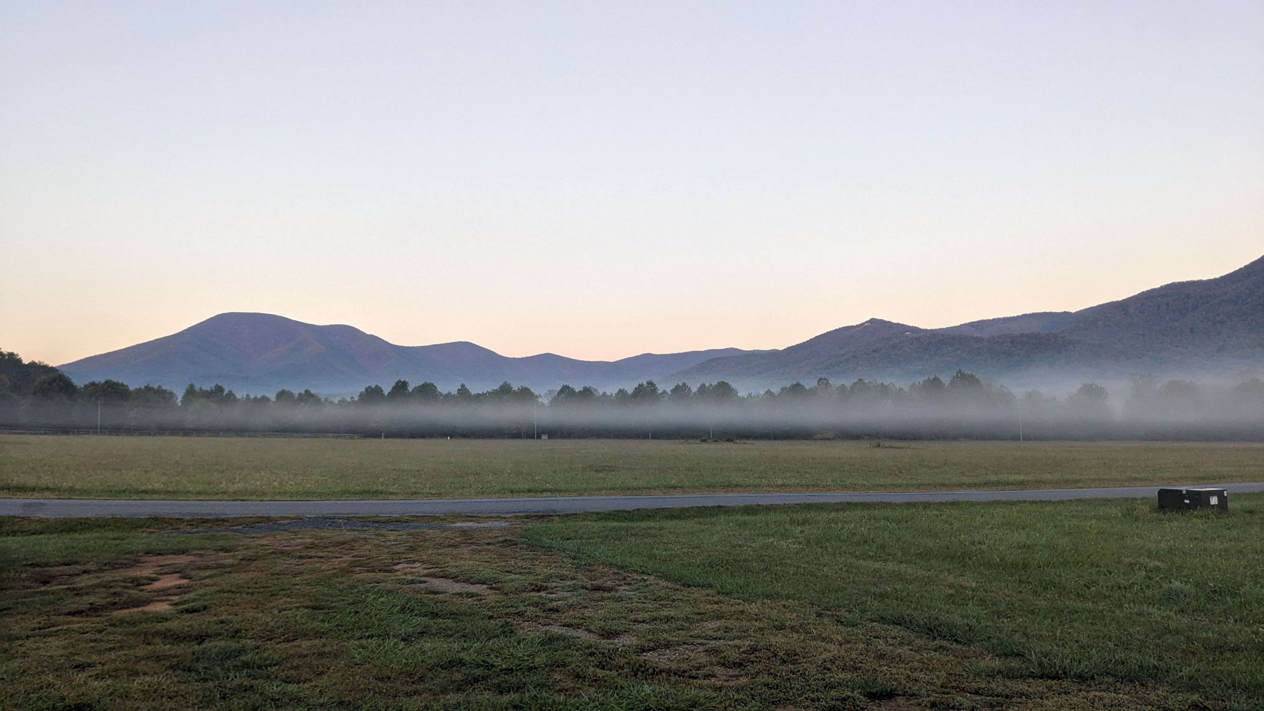
Radiation fog typically forms overnight under clear skies and light winds. As the surface cools through longwave radiation, the lowest layer of air may reach its dewpoint, creating fog beneath a shallow temperature inversion. After sunrise, surface heating often erodes the fog from the bottom up.
Evaporation Fog
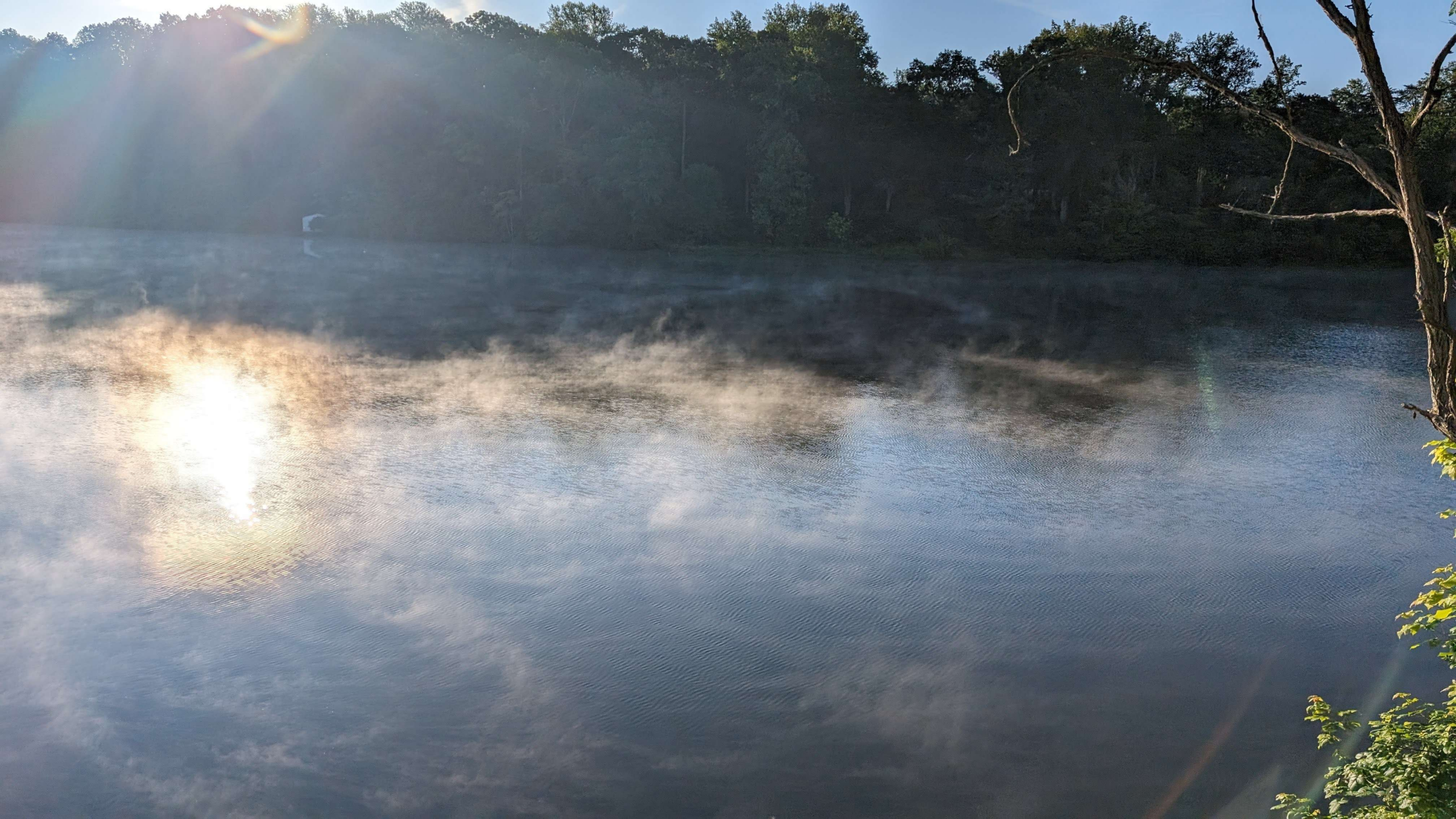
Evaporation fog forms when cold air moves over a warmer, moist surface. Lakes that appear to “steam” on chilly mornings are a classic example. On smaller scales, this can occur on wet roadways as sunlight evaporates surface moisture, briefly reducing visibility for drivers.
Advection Fog
Advection fog develops when warm, moist air moves horizontally over a colder surface. The marine layer along the California coast is a textbook case. Cold ocean water cools the air to its dewpoint, forming fog that can be transported inland by pressure gradients as land heats during the day.
This type of fog often benefits from wide-area fog visualization, since it can extend across large regions and persist for hours or days.

Upslope Fog
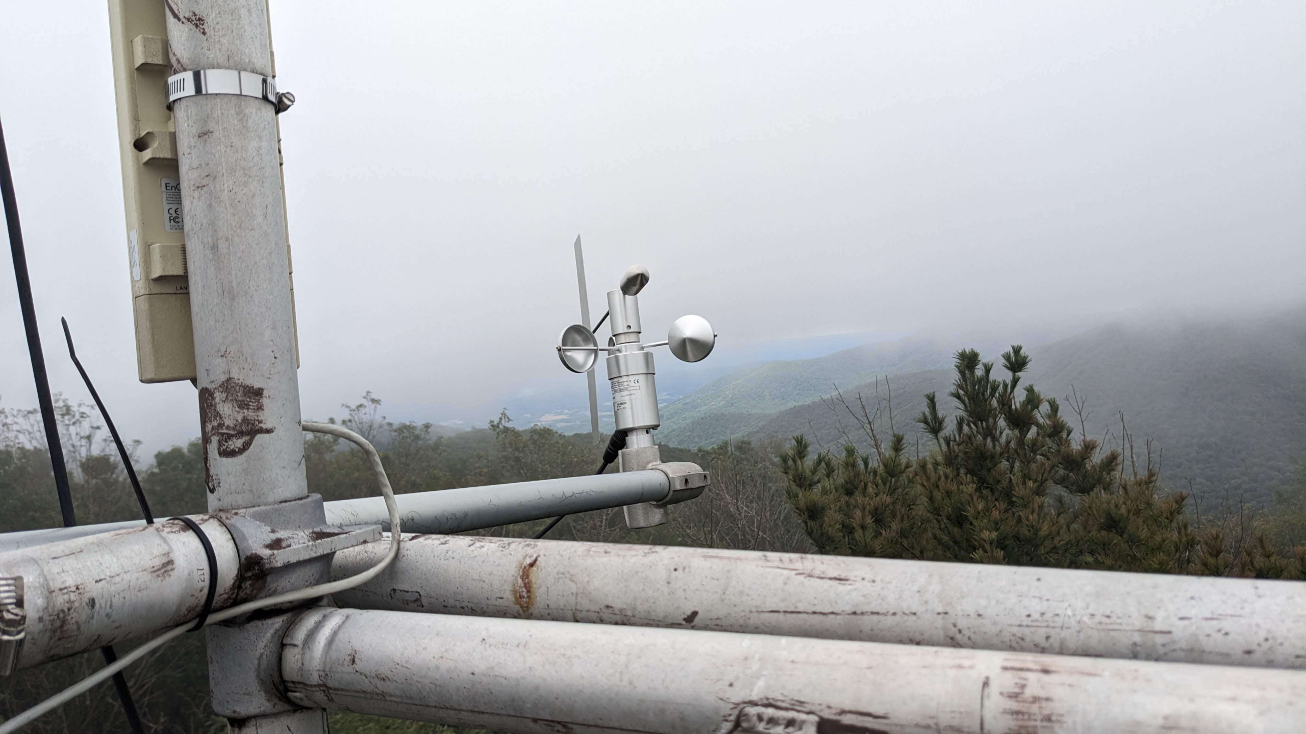
Upslope fog occurs when moist air is forced upward by terrain. As the air rises, it expands and cools, eventually condensing into fog. This is common along mountain slopes and elevated ridges, as shown near Pinnacles Tower in Virginia’s Shenandoah Valley.
Freezing Fog
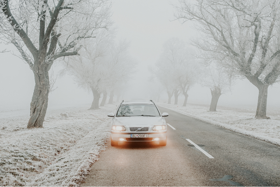
Freezing fog occurs when fog droplets remain liquid in subfreezing air. These supercooled droplets freeze instantly upon contact with cold surfaces, producing a thin, often invisible layer of ice (known as black ice) that contributes to hazardous travel conditions.
Why Fog So Quickly Reduces Visibility
Fog reduces visibility through Mie scattering, where water droplets scatter light in all directions. This is why high-beam headlights often make visibility worse, not better. Because fog layers can form and dissipate rapidly, timing travel around fog conditions is usually safer than pushing through them.
Fog Visualization With HRRR and Terrier
At Wet Dog Weather, we ingest HRRR model data to support high-resolution fog visualization. HRRR updates frequently and resolves atmospheric features at 3 km, making it well-suited for tracking low-level cloud development.
Using Terrier, we display HRRR low-cloud fields as smooth, interactive animations that show the onset, extent, and dissipation of fog layers.
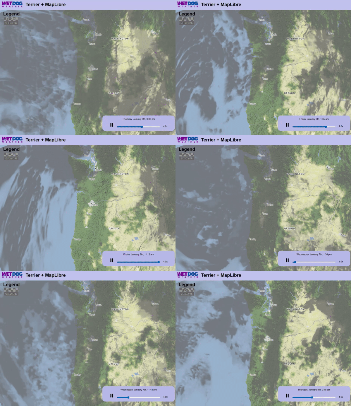
This big-picture view supports situational awareness by helping users anticipate when fog will impact travel, operations, or outdoor activity, rather than reacting after visibility has already dropped.
Turning Subtle Weather Into Clear Insight
Fog may be subtle, but its impacts are not. Reliable fog visualization helps reduce uncertainty by revealing how low-level clouds evolve in space and time. With fast model data and intuitive visuals, Wet Dog Weather makes fog easier to see, understand, and plan around.
