NDFD weather data makes NOAA forecasts more reliable and easier to work with. Now, we’ve integrated the National Digital Forecast Database (NDFD) as a free model into our platform, providing you with direct access to high-quality weather forecasts without the usual complexity. It’s available in all our products. Try it out with Greyhound!
If you’re building weather tools, running models, or need reliable forecast data, NDFD weather data might be your new favorite resource. This isn’t just another model—it’s NOAA’s own blend of regional NWS expertise and clean, preprocessed weather data.
What’s NDFD Weather Data and Why Should You Care?
NOAA calls it a hybrid: part weather model output, part curated forecast from NWS regional offices (while they still exist), and all run through a quality-control process. It’s a go-to source for many government and commercial tools—and now it’s baked into our platform.
We had a lot of requests to make this dataset more accessible. So we did just that. Here’s what stands out:
Coverage & Weather Elements
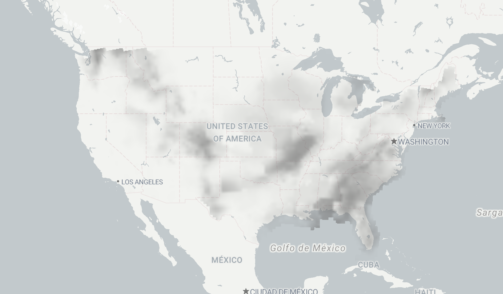
NDFD generally sticks to US boundaries. Presumably, because the regional offices don’t cater to fish? We’re not sure either. But the clean temperature coverage makes it really reliable for domestic applications.

Sometimes the dataset extends beyond US borders to include oceanic data, providing additional value for coastal and marine applications.
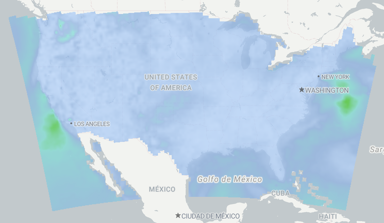
While temperature and wind data are available through NDFD weather data, you’ll also discover several other valuable weather elements that set this database apart.
Additional Weather Data Features
Wave height data stands out as particularly useful. Rather than pulling from separate ocean datasets, NDFD weather data provides this information in an easily digestible format.

The database includes minimum and maximum temperature ranges over specific periods. Having these calculated values readily available saves a significant amount of processing time compared to calculating them manually.
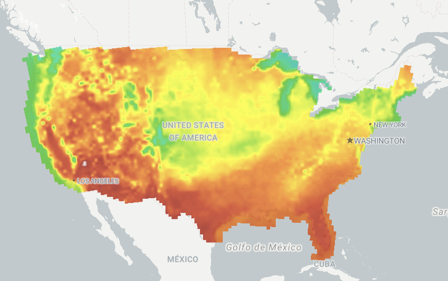
One of the most intriguing elements is labeled “Weather.” Just “Weather.” It’s a straightforward assessment of conditions at each grid point. While we’re still configuring the proper display enums in Terrier, this feature promises practical value for quick weather status checks.
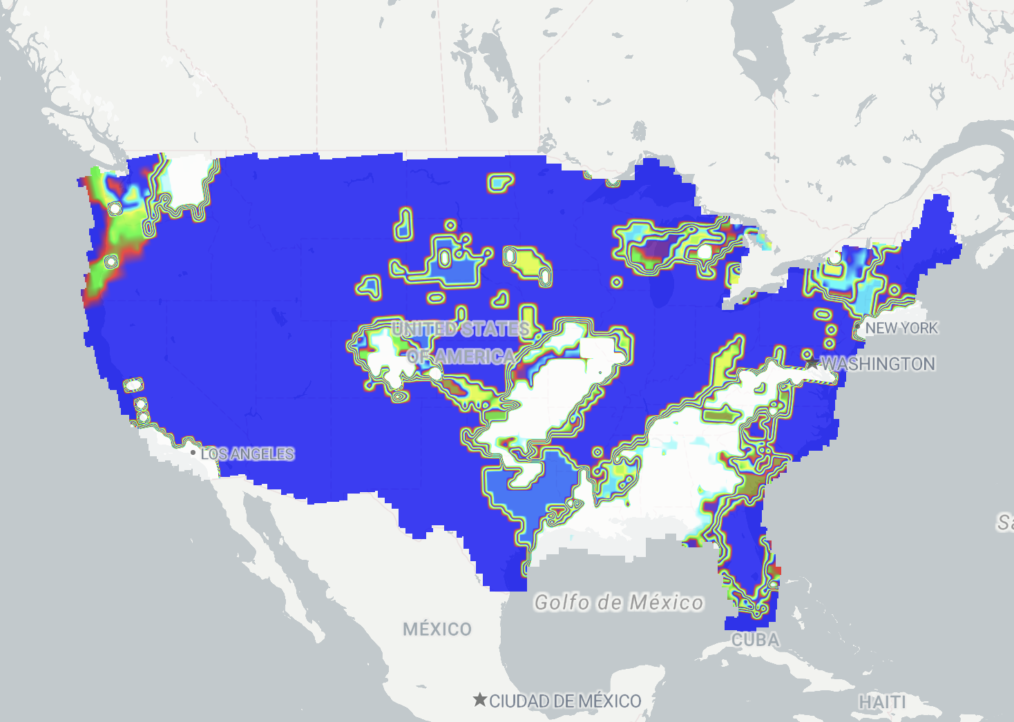
Precipitation probability data rounds out the key features. Though you could derive this from ensemble models, having it preprocessed and potentially modified by regional forecasters adds significant value to your NDFD weather data queries.
Why NDFD Weather Data Integration Matters
NDFD weather data combines essential weather elements with regional modifications and specialized variables. It saves you time, spares you from stitching together multiple sources, and gives you data that’s already been shaped by forecasters on the ground.
Our users asked for this, and we’re glad to roll it out. You can access the NDFD weather data directly from our platform. Whether you’re building maps, dashboards, weather-driven automation, or just want forecast data you can trust—it’s all here, and it’s free.
