According to its web page, the National Digital Forecast Database (NDFD) is a “suite of gridded forecasts of sensible weather elements.”
I think they mean “sense” as in you can feel them, but I like the idea of nonsensical weather elements. Like, what does “cloud mixing ratio” even mean? Okay, I looked up “cloud mixing ratio,” and it was very interesting, but probably not sensible.
One of the most useful features you’ll find in NDFD is its NDFD weather codes. They provide a compact summary of forecast conditions and can be used for everything from map displays to application workflows.
What is NDFD?
The NDFD forecasts are kind of a grab bag of useful stuff. Sometimes, they’re the standard models adjusted in ways the regional offices find useful.
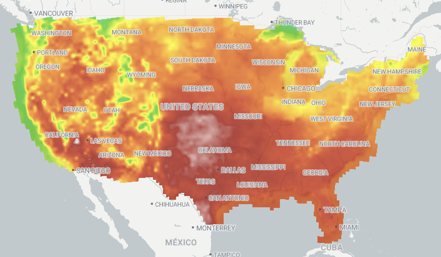
You have to love how US-centric that is. Want the temperature in Chuahua? Too bad! Well, okay, that’s probably because the regional adjustments they like to make don’t hold outside their areas of responsibility.
Other times, it’s a random variable you’d have to dig up elsewhere, like wave height.
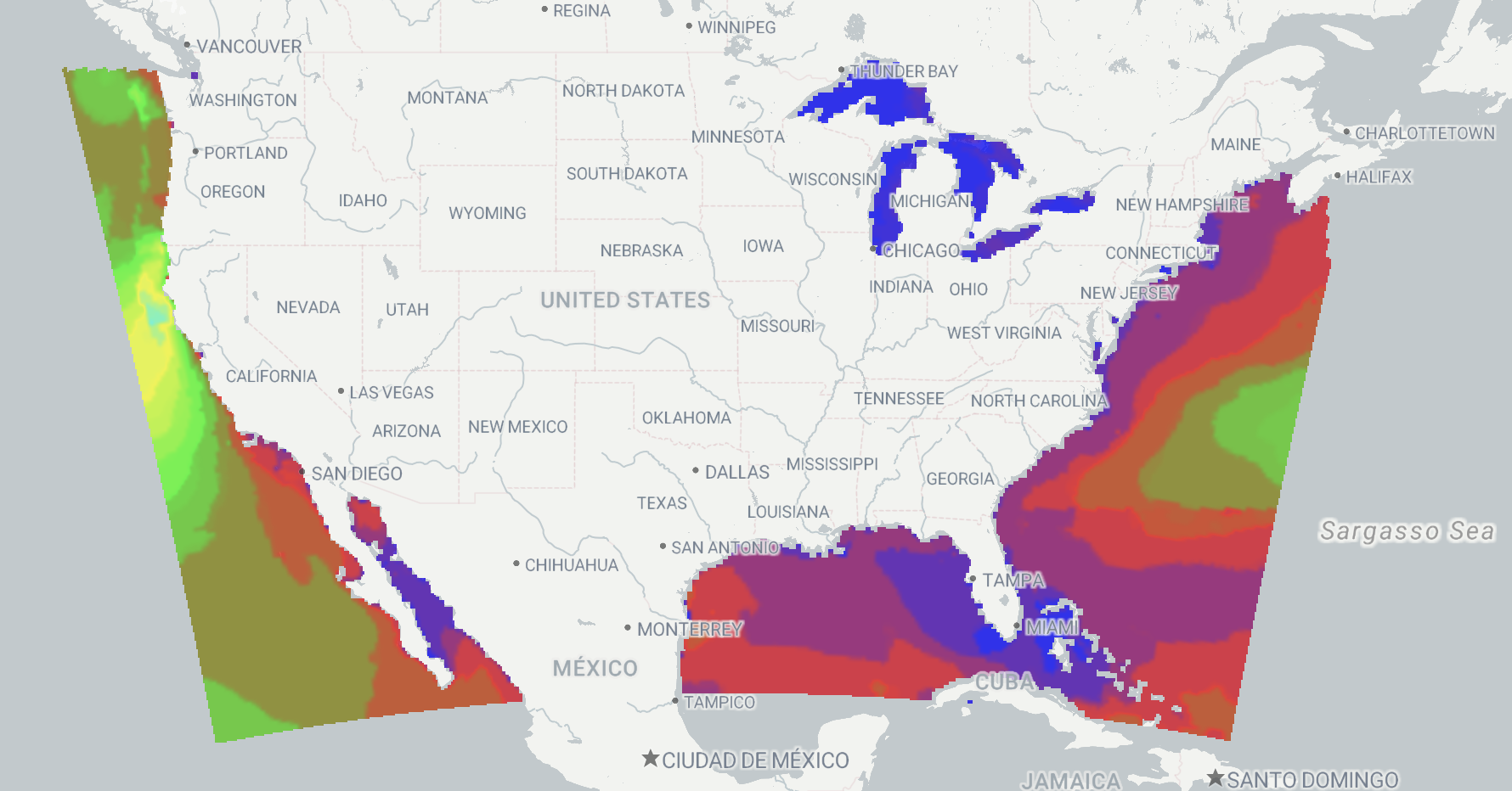
Or it’s something you’d have to derive, like a weather code.
How NDFD Weather Codes Work
The weather code field is a mini forecast for a given location. We boil it down to a single enumerated value, as the NWS does for display, but that’s not what it really is.
Within the data itself, the NDFD weather code is an index into a table of strings. Didn’t realize GRIB2 could contain a table of strings? Glad we could share that cursed knowledge with you. You’re welcome.
Once we’ve parsed those strings, the NDFD weather codes give you something very useful: A simple description of what’s going on at a given location.
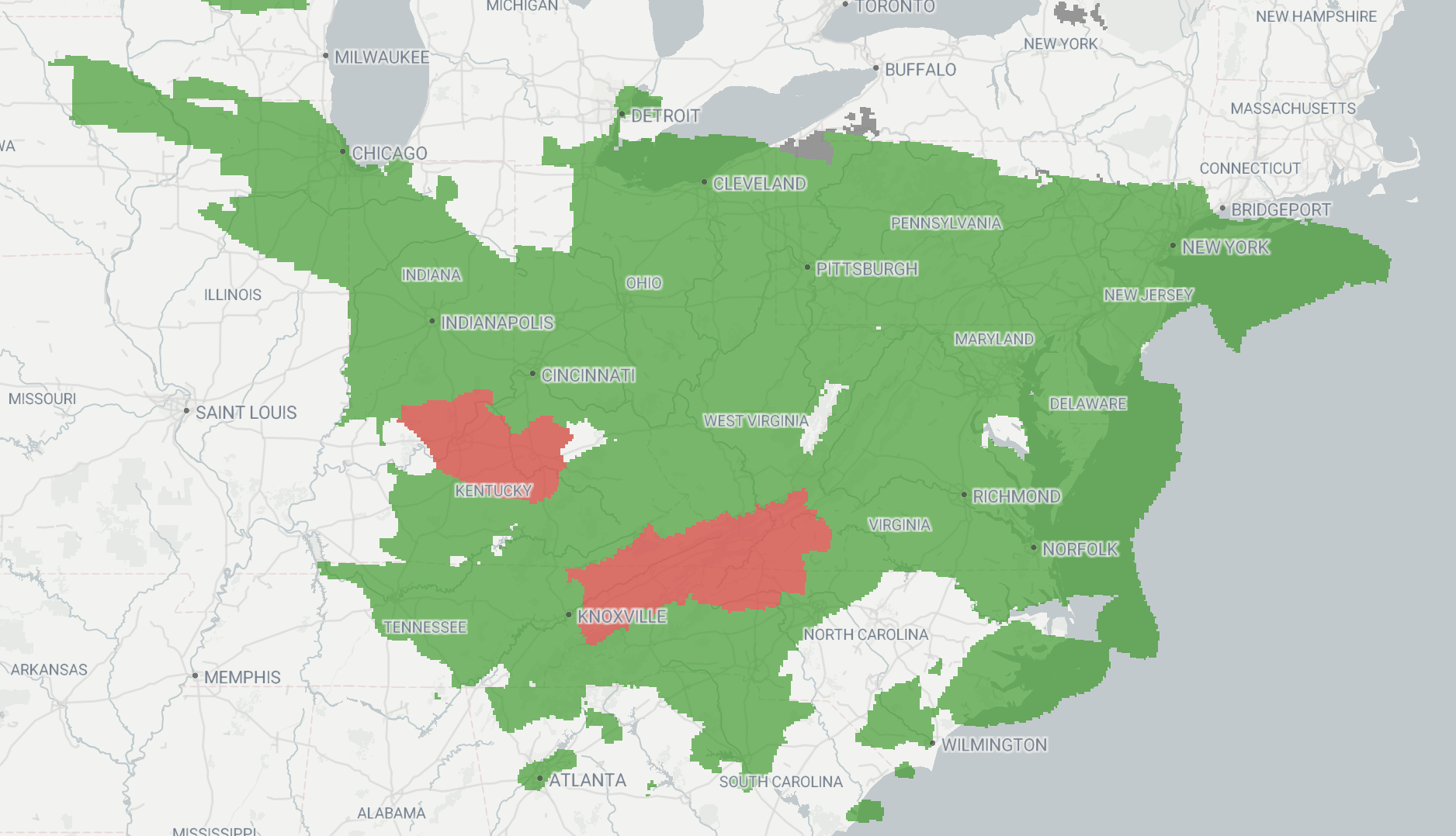
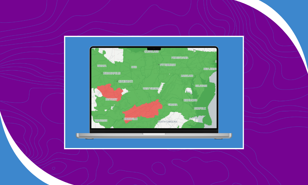
What’s going on here? Mostly rain. A little bit of “Severe”. Severe what? I bet the string table will tell us Severe Rain, but we can get that information from other variables too.
We turn this into a single enumerated type for you, and it has its uses.
What Can You Do with NDFD Weather Codes?
For display, it’s a nice overview of what’s happening all over the place. Smoke, Severe weather, Fog, you name it. My personal favorite is “Ice Fog.” That’s just Mother Nature messing with us.
NDFD weather codes also show up in our WCS product, so you can query them. For queries, this is a useful starting point for what’s happening in a particular location.
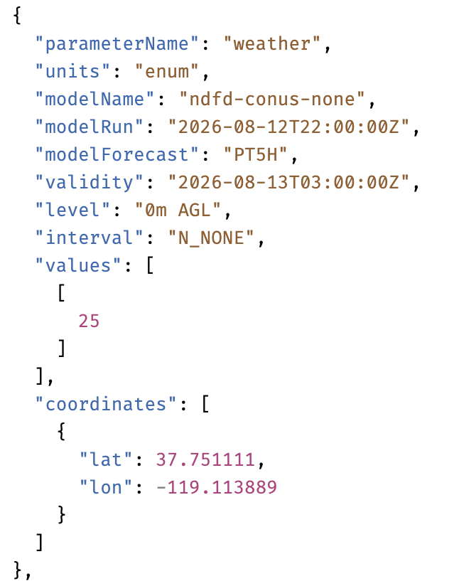
I looked it up. 25 is smoke. Yuck. Wishing them some 1 in the near future. That’s rain.
Takeaways
Whether you build your own weather logic from the models or rely on NDFD weather codes as a starting point, the data provides a simple way to understand what’s happening at a given location. NWS shows its work, and you can do something similar. Or you can trust their judgment and use weather codes to kick off your workflows.
On the display side, it’s a nice summary. And as always, this is available in your stacks if you ask us.