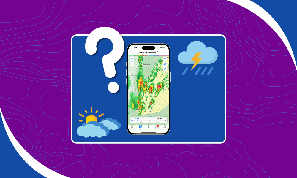
Ever wonder “where do weather apps get their data”? You’re not the only one. It turns out most apps in the U.S. are pulling from the same deep, government-funded well: the National Weather Service (NWS). That’s right, your favorite weather app, your car’s display, the widget on your phone, they’re all using the same core forecasts.
Because the NWS gives it all away. For free. And not just the bare minimum. Full model outputs, radar data, surface obs, upper-air soundings, satellite estimates, the works.
National Weather Service
There are a few different “start dates” for the NWS, depending on how nerdy you want to get. Still, the mission has stayed steady: give people in the U.S. access to accurate, timely weather information for free.
That includes giving away all the forecast data, too. And that’s not common everywhere. I once had a European executive corner me at a conference to complain that you can’t make money selling weather in the U.S. because the NWS gives everything away.
So if you’ve been wondering where weather apps get their data, it’s probably here.
North American Mesoscale (NAM) Forecast System
The NAM is a sturdy old model that’s still around but slowly being replaced. You’ll find it in apps that focus on the continental U.S., and it’s… okay. Not cutting-edge, but not broken either.
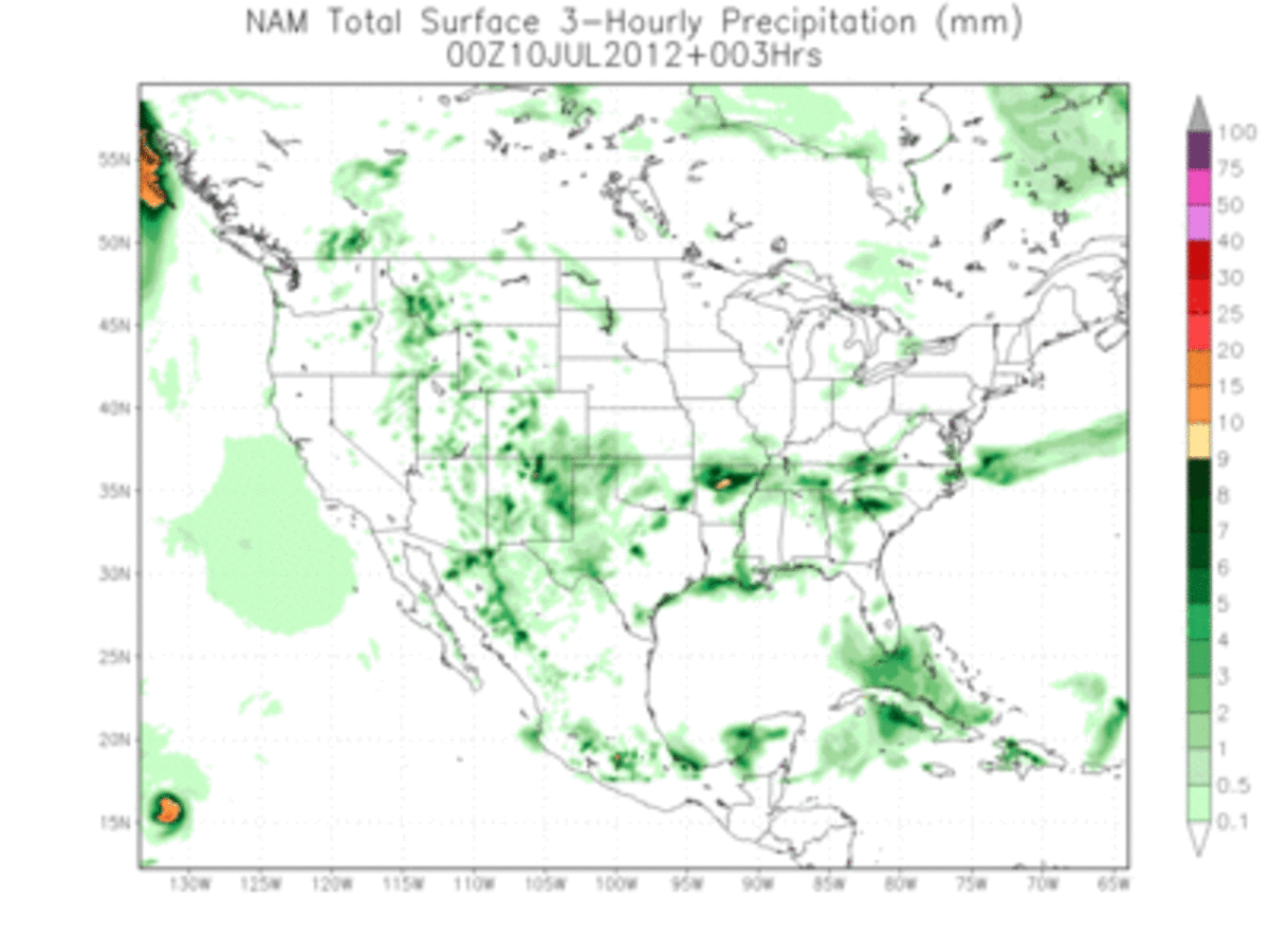
If your app quietly dropped it tomorrow, you probably wouldn’t notice. Sorry, NAM.
Global Forecast System (GFS)
The GFS is the NWS’s global model, and it’s the backbone for a ton of apps, especially anything international.
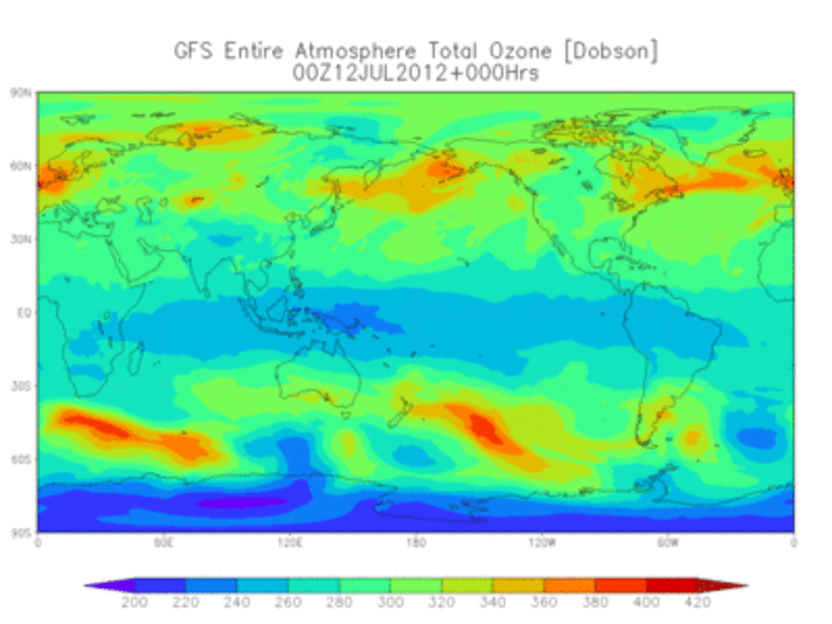
You’ve probably heard someone say the European model is better. They’re not wrong, but GFS is free. It’s hard to beat free. Besides, for weather specifically over the U.S., we have other models.
High Resolution Rapid Refresh (HRRR)
Now we’re talking. The HRRR is my favorite weather model. It updates hourly and has gorgeous resolution for short-term forecasts. If you want to know when the rain starts at your house, HRRR’s your best bet.
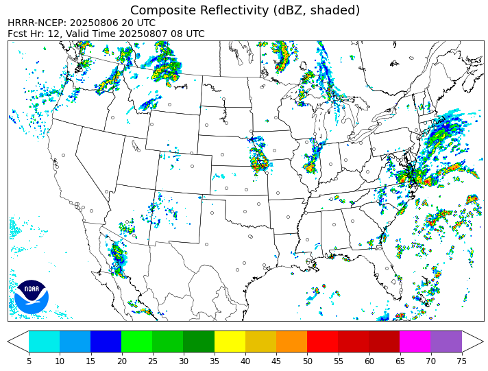
It even gives you 15-minute forecast intervals. That’s ridiculously good for free data. Not every weather app uses HRRR. Some skip it entirely. To be honest, I find that kind of suspicious.
Where Do Weather Apps Get Their Data (Besides NWS)
Weather models don’t give you a pretty forecast graph. They give you a grid of numbers. Big ones.
Everyone in this business takes that grid and slices it up. Some process it in the cloud. Others, like us at Wet Dog Weather, do the heavy lifting right in your browser or mobile app. Then we turn it into what you actually see. Maps, charts, icons, graphs. Sunshine emojis.
Apps can use the same data and look totally different because the real magic is in how they display and query that information.
Weather Data, AI, and Secret Sauce
So maybe your favorite app isn’t just using raw model data. Maybe they’re layering on some AI. Or maybe they’ve built a machine learning model trained on years of past forecasts and actual observations. Or maybe they’re just tweaking the numbers, reasoning that models have certain biases, and they can undo those biases with a bit of statistical manipulation. Can they? Maybe.
Still, when it comes to where weather apps get their data in the U.S., most of the time it’s the National Weather Service. Dressed up in different outfits, but still the same source.
So, Where Do Weather Apps Get Their Data?
Mostly, from the same place. The National Weather Service is doing the hard work. They build forecast models, collect observations, and release them all for free. It’s an amazing public resource, and we’re lucky to have it. The NWS has been under attack lately, but it’s worth supporting them. We’d miss them when they’re gone.
If you’ve ever found yourself asking, “Where do weather apps get their data?”, now you know. It’s mostly the same models, just visualized in different ways.
At Wet Dog Weather, we build tools that help companies visualize that data clearly, from mobile apps to real-time dashboards. If you need to see it, we’ll help you show it.
