At Wet Dog Weather, we’ve been tracking a dangerous trend that comes back every year. Summer flash flood risks are increasing, and recent headlines from Texas to New York are proof. These fast-moving, high-impact weather events can overwhelm roads, disrupt operations, and put your teams at risk with little to no warning.
Understanding Summer Flash Flood Risks
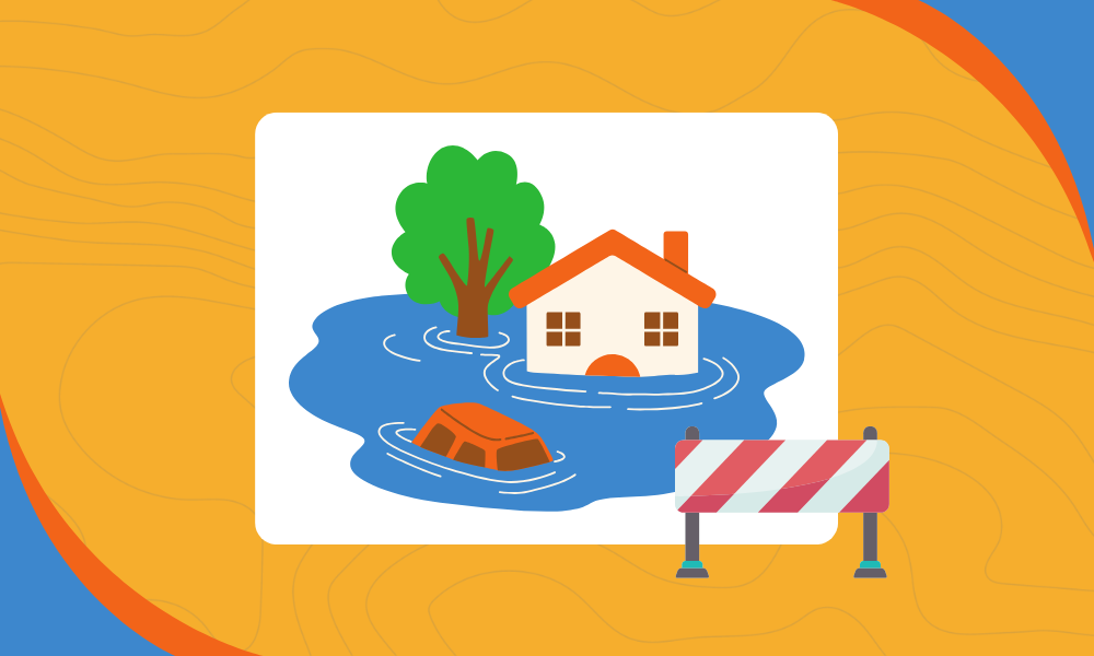
Flash flooding is one of the most frequent weather threats during the summer months. That’s because slow-moving thunderstorms tend to form in hot, humid air, and when they stall over one area, they can dump a massive amount of rain in a very short time. The ground can’t absorb it quickly enough, especially in cities or regions that have already experienced rain earlier in the week or have a high concentration of concrete covering the ground.
The result is rapid water buildup on roads, in drainage systems, and low-lying areas. Flash floods are called “flash” for a reason; conditions can go from dry to dangerous in minutes.
Recent flooding has led to devastation in Texas, as seen in this video taken at Llano River on July 4th and shown at 100x speed. Flash floods aren't just sudden—they're getting stronger, faster, and more deadly. pic.twitter.com/jdCVJT8jLa
— National Geographic (@NatGeo) July 11, 2025
What We’ve Seen This Month
The past few weeks have been a stark reminder of the seriousness of summer flash flood risks.
In central Texas, as much as 10 inches of rain fell over a weekend. Rivers like the Lampasas surged by 30 feet in under five hours. Flood recovery volunteers in Kerr County were forced to evacuate as more storms moved through the area. This was after an already devastating flood hit the same location on July 4.
In New Mexico, the town of Ruidoso saw water rise 20 feet in an hour after just a few inches of rain fell on a wildfire burn scar. That combination of terrain and saturation turned a mountain town into a crisis zone almost instantly.
In North Carolina, the remnants of Tropical Depression Chantal flooded apartment buildings and shopping centers in Chapel Hill. Emergency teams rescued dozens of residents and drivers across central parts of the state.
And in New York, flooding shut down subway service and delayed trains at Grand Central. Flash flood warnings spread across the metro area as heavy rain overwhelmed drainage systems from Manhattan to the suburbs.
Footage shows flooding at the 28th Street station in New York City on Monday night as slow-moving thunderstorms hit the Northeast. https://t.co/Vc92EvHrBI pic.twitter.com/2a6YocdyPc
— ABC News (@ABC) July 15, 2025
Why Flash Floods Escalate So Quickly
The speed of these events is what makes them so dangerous. Unlike traditional river floods that develop over time, flash floods can catch people off guard. Urban infrastructure can’t keep up. Hills, valleys, or fire-damaged ground can channel runoff in unpredictable ways. And once roads are underwater, visibility drops, and travel becomes hazardous fast.
For companies with field crews, drivers, or outdoor work sites, this poses an urgent safety risk. Decisions must be made quickly, and the data must be clear and concise.
WATCH: Structure swept away by flash flooding at Rio Ruidoso River in New Mexico. pic.twitter.com/fvnQLqUiA6
— AZ Intel (@AZ_Intel_) July 8, 2025
How Wet Dog Weather Helps Clients Stay Ready
At Wet Dog Weather, we specialize in turning weather data into action. Our apps and dashboards provide clients with the tools they need to visualize changing conditions in real-time. That means you can see where flooding is occurring, how quickly it’s developing, and which areas may be affected next.
Our tools don’t just show you radar or basic forecasts. We help you interpret rain rates, soil saturation, flood-prone zones, and high-risk road segments before you send someone into the field. When summer thunderstorms hit hard, that level of visibility can make the difference between a close call and a real emergency.
Summer Flash Flood Risks: What You Can Do Today
Even without our tools in place (yet), there are steps you can take now. Learn where your flood zones are. Watch for stalled storms and saturated ground. Delay travel when alerts are issued, even familiar roads can become impassable quickly.
Most of all, don’t rely on instinct when conditions change. Flash floods move fast, and being prepared isn’t just about reacting; it’s about seeing the risk before it happens.
Let’s Talk About How We Can Help
Summer flash flood risks aren’t going away, but with the right data, you can stay ahead of them. We build weather visualizations that make threats clear, fast, and actionable. Whether you need real-time dashboards, mobile alerts, or integration with your existing safety systems, Wet Dog Weather is here to help.
Get in touch and let us show you how our weather tools support safer operations, better decisions, and peace of mind—all summer long.

